Enhancing Community Safety: The Precision of Firebreak Mapping
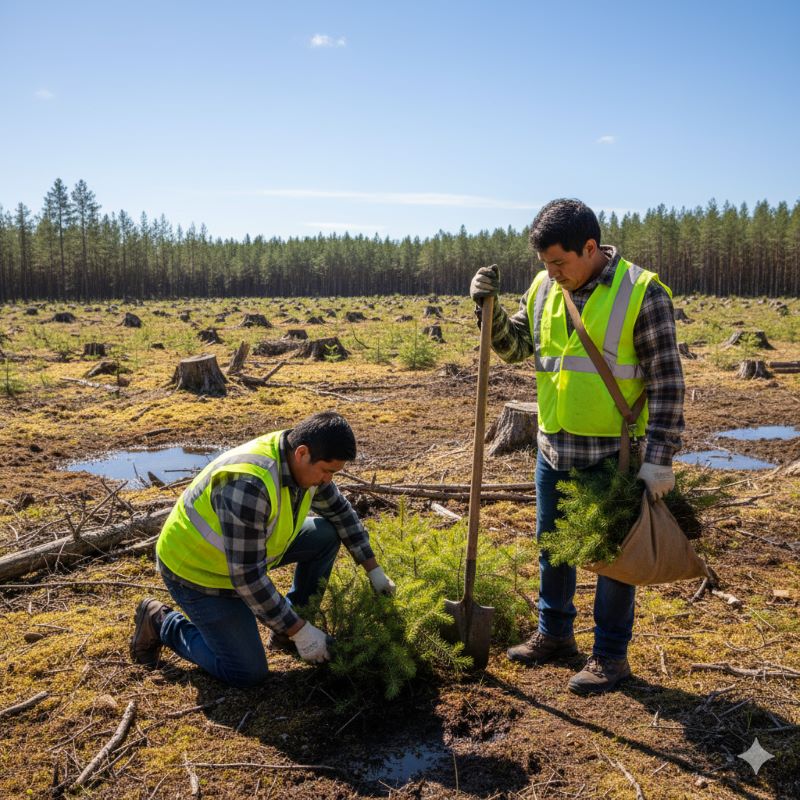
In the face of increasing wildfire threats across Canada, visualization is a cornerstone of preparedness. Firebreak Solutions specializes in providing communities with clear, actionable data to manage their local defenses. This specialized mapping service leverages advanced geographic tools to ensure that critical fire suppression infrastructure is not just present, but meticulously documented and accessible to the stakeholders who need it most.
Interactive Precision: How The Mapping Works
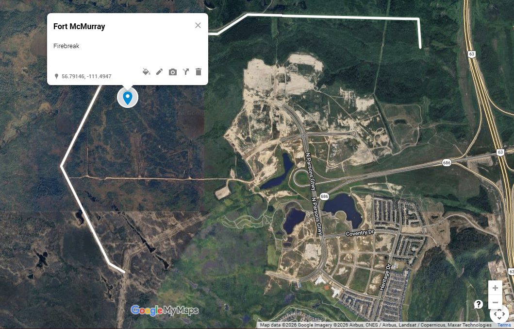
The mapping service utilizes the Google MyMap platform to create a user-friendly, interactive interface that tracks the status and specifications of firebreaks across the country. This digital infrastructure allows for a high degree of transparency and detail, organized into two primary visual components:
1. Strategic Markers and Community Data
Each mapped region is populated with marker balloons that serve as information hubs for local firebreak status. By clicking on a marker, users can instantly access a description box containing:
- Community Name: Identifying the specific area protected by the infrastructure.
- Establishment Date: The original date the firebreak was constructed.
- Update Logs: A chronological record of the most recent maintenance and inspections, ensuring the data remains current and reliable.
2. Structural Details and Work History
Beyond simple location markers, our maps feature defined lines that trace the physical path of the firebreak. When a user selects a specific line, a detailed text box expands to provide an in-depth look at the site’s history. This section includes:
- Community Context: Reiteration of the specific zone covered.
- Scope of Work: A comprehensive breakdown of the activities performed, such as vegetation thinning, controlled burns, or mechanical clearing. This allows municipal leaders and emergency services to understand exactly what level of protection is provided by that specific barrier.
By integrating these layers of data, one can move beyond static imagery. This service provides a living document that assists in long-term planning, resource allocation, and emergency response coordination, ensuring that when fire season arrives, the data is as ready as the physical firebreak itself.
Indigenous Communities
Purple balloons with an axe symbol denote some sample ideas for firebreaks around the community. These are to serve as ideas or inspiration for potential firebreaks.
Your Partner in Wildfire Resilience
Effective firebreak management requires more than just moving earth; it requires clear communication and accurate record-keeping. These mapping services bridge the gap between field operations and community planning, providing a vital tool for Canadian municipalities and First Nations. By prioritizing clarity and detail, Firebreak Solutions ensures that every community is equipped with the knowledge necessary to maintain a robust and effective wildfire defense strategy for years to come.
The service costs $40 to enter one continuous firebreak with additional firebreaks at $15 each. If you would like to update the firebreak in the future the rate is $20. This map is made available to fire control personnel coast to coast. Visit FireBreak Solutions.